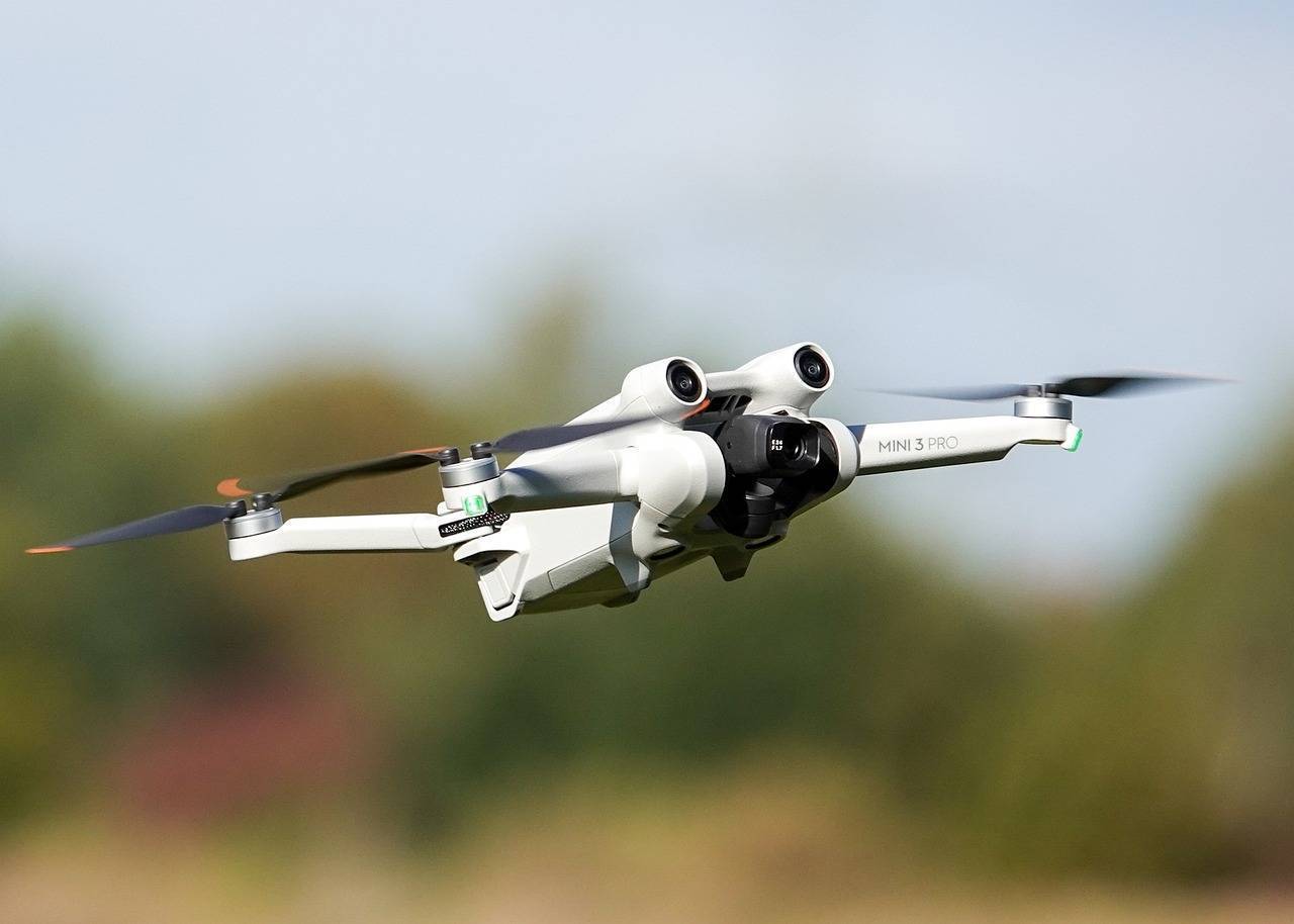
The Dharavi Redevelopment Project (DRP) has become the first slum rehabilitation project in India to adopt advanced technology for surveying and documentation. Spanning 620 densely populated acres, Asia’s largest slum is being mapped using drones, Light Detection and Ranging (LiDAR) technology. This innovative approach aims to ensure precision, transparency, and efficiency in executing a project of such scale and complexity.
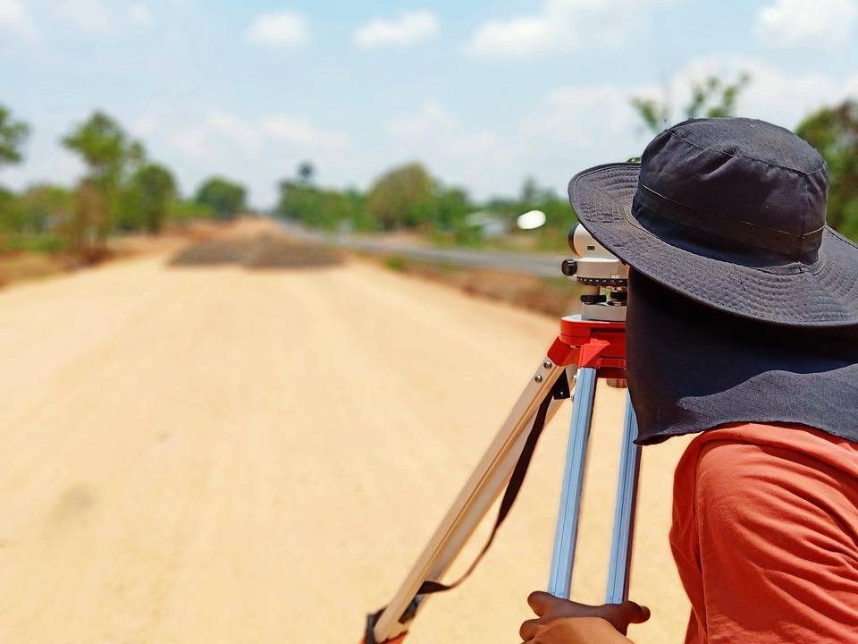
Dharavi, with its narrow lanes, informal settlements, and densely packed buildings, has traditionally been difficult to survey using conventional methods. Historically, surveys in similar areas relied on manual methods, such as total station surveys and physical document collection. These methods, while effective, often lacked precision and could be time-consuming. With the new technology, however, the DRP aims to get more accurate and efficient results.
Drones are being used to capture aerial images of the area. These images provide an overview of the landscape, which helps in understanding the layout of the slum and planning for redevelopment. LiDAR technology, which uses laser light to measure distances, allows for the creation of 3D maps of buildings, roads, and other features. This is especially useful in areas like Dharavi, where buildings are often closely packed together, making it hard to capture detailed data from the ground. LiDAR’s ability to gather accurate data from hard-to-reach places is a key advantage in this project.
Together, drones and LiDAR technology are helping create a “digital twin” of Dharavi—a virtual representation of the area that can be used to analyze the existing conditions and plan for redevelopment. The digital twin will help planners and officials better understand the terrain and infrastructure of the area, ensuring more informed decisions throughout the redevelopment process.
In addition to these technologies, the survey teams are using mobile applications to gather data directly from the residents. These apps allow surveyors to collect information at the exact location of each resident, improving the accuracy of the data. This digital approach also helps in verifying the eligibility of residents for the rehabilitation program. The survey process is designed to ensure that only those who meet the criteria, such as having proof of residence before January 1, 2000, are included in the redevelopment.
The use of these tools also helps address some common concerns in such large-scale projects, such as the possibility of errors in data collection or misuse of personal information. By digitalizing the process, the DRP aims to reduce the chances of disputes and make the entire process more transparent. The digital model of Dharavi, built using data from drones, LiDAR, and mobile apps, can be reviewed by all stakeholders, allowing for more accurate assessments and faster resolutions of issues.
The Dharavi Redevelopment Project also plans to provide affordable housing for approximately 700,000 eligible residents, with free flats of up to 350 square feet for those displaced by the project. A significant portion of the redevelopment is focused on building low-cost housing on acquired salt-pan land, which will be offered to the residents of Dharavi.
In order to ensure residents are fully informed and comfortable with the survey process, the DRP has implemented a comprehensive outreach program. This includes distributing pamphlets, holding meetings, and setting up call centers to provide information. Field supervisors assist residents in submitting the required documents, and those who are unale to provide the necessary paperwork are guided through the process of obtaining it.




.png)