Hubballi-Dharwad Municipal Corporation (HDMC) is set to implement Karnataka’s first 3D Geographic Information System (GIS) survey to improve property tax collection. The survey will map all buildings within municipal limits to address tax evasion and under-assessment. Estimated to cost ₹23 crore, the project aims to expand the tax base and increase revenue.
The initiative follows a long-standing demand for a GIS-based property survey. HDMC has completed the tender process, with final approval expected in a general body meeting on February 17. Once approved, the municipal corporation will issue a work order to the selected company, marking the beginning of the survey in early March. The corporation currently generates ₹140 crore in property tax from commercial, residential, and vacant properties. Through the 3D GIS survey, it seeks to increase this demand to ₹400 crore by identifying unassessed and undervalued properties.
The survey will involve detailed mapping of all structures, capturing data on building height, floor area, land use, and property boundaries. The collected information will be integrated into a central digital platform accessible to HDMC officials. The data will help track property modifications and ensure updated tax records. The use of advanced mapping tools and digital databases will streamline the tax assessment process, making it more transparent and efficient.
The selected company will deploy teams with specialized equipment to conduct the survey. Two companies participated in the bidding process, including a Dubai-based firm with experience in GIS surveys in Varanasi and other cities. The survey is expected to be completed before the monsoon season to prevent delays. The digital records will also support urban planning, infrastructure projects, and public service delivery.
HDMC officials anticipate that the survey will bring numerous properties under the tax net that were previously unaccounted for or under-assessed. The new system will provide an accurate and updated tax structure, reducing discrepancies in assessment and collection. The centralized digital platform will enable officials to monitor property developments and enforce tax regulations effectively.
The introduction of 3D GIS mapping is expected to improve municipal governance by creating a comprehensive database of properties within the city. It will also help property owners by ensuring fair tax assessments based on accurate property details. The implementation of digital records will reduce dependency on manual surveys and minimize errors in tax computation.
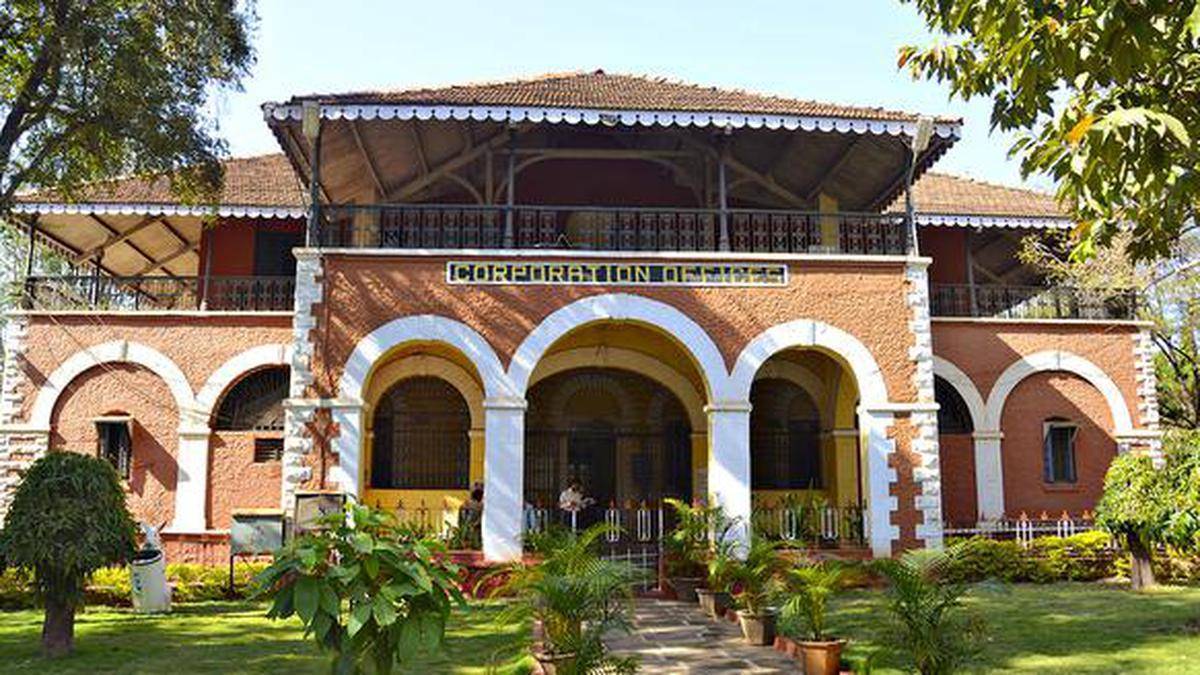
Image source- hdmc.in


.png)