
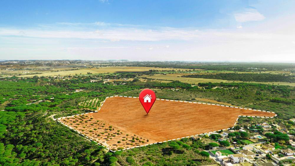
In a significant step toward urban planning and land conservation, the Coimbatore civic body has initiated the Geographic Information System (GIS) mapping of Open Space Reservation (OSR) lands to combat encroachments and ensure proper land utilization. As of now, 500 parcels of OSR land have been successfully identified and mapped using this technology. A senior official from the corporation confirmed that the mapped data would soon be accessible on the corporation’s website for public reference.
The civic body, in collaboration with a private consultant, has taken up this initiative to streamline land records and ensure that public spaces remain free of unauthorized occupations. Official records indicate that Coimbatore has over 2,000 OSR land parcels across its five zones, making systematic tracking essential for urban development and civic administration.
GIS Mapping for Transparency and Efficiency
The GIS-based mapping system will provide crucial details, including ward number, zone, survey number, patta number, approved plot numbers, layout maps, and the extent of OSR land. The initiative aims to bring transparency in land records, enabling better management and accessibility of land-related information. The mapping process also includes identifying encroachments and determining if any of the land is being used by the corporation for overhead tanks or similar civic amenities.
To ensure accuracy, drone images are initially used to identify layouts, followed by licensed surveyors physically inspecting locations to confirm their current status. These surveyors will report any unauthorized occupation and update the system with details regarding encroached areas. This approach ensures that any misuse or illegal occupation of OSR lands is systematically recorded and addressed.
Past Efforts and Future Plans
In 2024, the Coimbatore civic body had reclaimed 23 OSR land parcels, covering approximately 4.5 acres, through special drives. This effort, estimated to be worth more than ₹350 crore, was part of a broader strategy to reclaim and safeguard government-owned properties. Officials have confirmed that additional OSR land parcels will be identified and reclaimed in the near future.
Despite these efforts, challenges remain. A significant number of OSR land parcels are still under litigation, delaying their reclamation. According to officials, around 75 parcels are currently involved in legal disputes. Additionally, the city has approximately 300 to 400 parcels of OSR land that remain encroached or unidentified.
Expert Reactions and Public Awareness Initiatives
The move has been welcomed by urban planners and conservationists. S. P. Thiyagarajan, Secretary of the Tamil Nadu Reserve Site Protection Committee, emphasized the importance of public awareness in the success of this initiative. While he praised the GIS mapping project, he also urged the civic body to launch an awareness campaign about the availability of land records online.
According to Thiyagarajan, not everyone may access the corporation’s website to check the status of OSR lands. He suggested that publicizing the initiative through offline and online campaigns would help land buyers verify the authenticity of plots before transactions. Moreover, attaching layout copies online would minimize the possibility of fraudulent documents being circulated in the real estate market.
Thiyagarajan also pointed out that the corporation had previously listed approximately 150 encroached OSR land parcels on its website. He claimed to have personally identified an additional 100 encroachments over a decade ago and submitted the details to the authorities. However, these encroachments had not been addressed, highlighting gaps in enforcement and follow-up actions.
Moving Forward: A Sustainable Land Management Strategy
The integration of GIS technology in land mapping is a crucial step toward sustainable urban planning. By digitizing land records and making them publicly accessible, the civic body is not only enhancing governance but also fostering public trust. With continued efforts, regular updates, and strict enforcement, Coimbatore’s initiative could serve as a model for other cities looking to curb land encroachments and improve land resource management.
The success of this project will largely depend on timely action, transparency in data management, and active participation from both government authorities and the public. If executed effectively, it could lead to better planning, efficient land use, and an overall improvement in the city’s urban landscape.


.png)