The Delhi Development Authority (DDA) has taken a significant step toward addressing the escalating issue of land encroachments in the national capital. In a move that underscores the importance of advanced technology in urban management, the DDA has signed a tripartite Memorandum of Understanding (MoU) with the Municipal Corporation of Delhi (MCD) and the Survey of India (SoI). This collaboration is focused on deploying drone technology to conduct precise land surveys, aiming to curb unauthorized constructions and protect government land from encroachers.
The Problem of Land Encroachments in Delhi
Land encroachments have become a pervasive problem in Delhi, a city constantly grappling with rapid urbanization and limited land resources. The encroachment of public land, whether through illegal constructions or unauthorized use, not only disrupts planned development but also poses significant legal and safety challenges. Various government agencies, including the DDA, MCD, and others, face difficulties in accurately determining the status of land under their jurisdiction, leading to delays in addressing encroachments and unauthorized structures.
The DDA’s initiative to employ drone technology for land surveys is a proactive measure to mitigate these challenges. By harnessing the capabilities of drones, the DDA, in collaboration with the MCD and SoI, aims to bring a higher level of accuracy and efficiency to land management processes, ensuring better protection of public land and adherence to urban planning regulations.
Drone Technology in Land Management
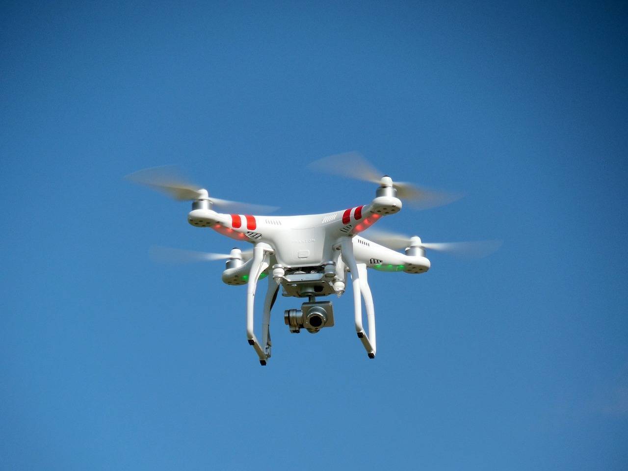
Drones, equipped with high-resolution cameras and sensors, have emerged as powerful tools in the field of land surveying and urban planning. These unmanned aerial vehicles (UAVs) can capture detailed aerial images of large areas quickly and efficiently, providing data that is both accurate and comprehensive. This data can then be used to create precise maps and models, which are essential for tasks such as boundary demarcation, encroachment detection, and land use planning.
According to DDA, the drone surveys will address the issue of uncertainty regarding the status of land owned by various government agencies. The drones will fly over designated areas, capturing high-resolution images that will enable the exact demarcation of boundaries and the identification of unauthorized structures. The aerial imagery obtained will also facilitate the creation of topographic templates, which are crucial for accurate land records and urban planning.
In a recent meeting, Lieutenant Governor (L-G) VK Saxena was shown the results of a trial run conducted over an area of 50 square kilometers. The trial was deemed highly successful, with the drones providing clear, high-resolution images that mapped the area in detail. The L-G emphasized the importance of making this technology available to senior officers, enabling them to visualize ground conditions, including roads, drains, encroachments, and even garbage, directly from their office monitors. This capability is expected to enhance the effectiveness of urban management efforts, allowing for more informed decision-making and prompt action.
Drone Surveys for Combating Encroachments
The adoption of drone technology for land surveys offers several significant advantages:
- High Accuracy: Drones can capture images with remarkable detail, ensuring that the data collected is accurate and reliable. This precision is crucial for tasks such as boundary demarcation and the detection of encroachments.
- Efficiency: Drones can cover large areas in a relatively short time, making them ideal for surveying expansive regions like Delhi. This efficiency reduces the time and costs associated with traditional land surveys, allowing for more frequent updates and better monitoring.
- Real-Time Data: The real-time aerial imagery obtained from drones allows for the immediate identification and monitoring of encroachments. This capability enables authorities to take action against unauthorized constructions at an early stage, preventing them from becoming entrenched.
- Detection of Vertical Encroachments: Drones can generate data elevation models, which help in identifying vertical encroachments—an aspect often overlooked in traditional surveys. This feature is particularly useful in urban areas where unauthorized multi-storey constructions are a common issue.
- Data Integration: The geospatial data generated through drone surveys can be seamlessly integrated with existing data from the DDA, MCD, and other government agencies. This integration enhances resource utilization and ensures comprehensive coverage of all areas under their jurisdiction.
Comprehensive Scope of the MoU
The MoU signed between the DDA, MCD, and SoI outlines a detailed plan for the drone surveys. The scope of work includes data acquisition through drone flights, the creation of topographic templates, and the resurvey of plot boundaries and property lines to update land records. Additionally, the MoU covers the storage and management of the data collected, ensuring that it is accessible and usable for future urban planning initiatives. Training of government officials in the use of drone technology and geospatial data analysis is also a key component of the agreement.
By using drones for land surveys, the DDA and MCD aim to improve their ability to detect encroachments, unauthorized constructions, and changes in land use. This will facilitate timely decision-making and prompt action, contributing to the planned development of Delhi in line with the Master Plan for Delhi (MPD).
A Forward-Looking Approach to Urban Management
The integration of drone technology into land management practices represents a forward-looking approach to urban development. As Delhi continues to grow and evolve, the challenges of managing land resources will only become more complex. By adopting advanced technologies like drones, the DDA, MCD, and SoI are positioning themselves to better meet these challenges, ensuring that public land is protected and urban development is carried out in a planned and sustainable manner.
This collaborative initiative not only sets a precedent for other cities facing similar issues but also highlights the critical role of technology in modern urban management. With the successful implementation of drone surveys, Delhi can look forward to more efficient land management, reduced encroachments, and a more organized urban landscape.