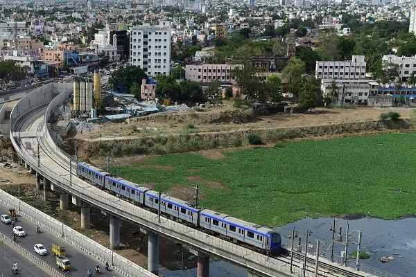
The Coimbatore City Corporation has received Rs 2 crore from Chennai Metro Rail Limited (CMRL) to conduct a land plan survey for two proposed metro corridors in the city. The survey, starting on March 5, 2025, will cover 35 km, with 20.4 km along Avinashi Road (Corridor I) and 14.4 km along Sathyamangalam Road (Corridor II).
The survey will involve detailed road mapping and the identification of underground utilities, including high-tension power lines, telecommunication cables, water pipelines, and drainage chambers. Plans for relocating utilities that may obstruct metro construction will also be developed.
To ensure accuracy, the corporation has engaged two private surveying agencies, one from Delhi and another from Chennai, for an initial assessment. Each agency will survey a 100-metre stretch at different locations. Based on the accuracy of their reports, one agency will be selected to conduct the full survey.
According to a senior corporation official, advanced mapping technologies such as Differential Global Positioning System (DGPS), mobile LiDAR scanning, and ground-penetrating radar will be used for the survey. These technologies will help in precise data collection and minimize discrepancies.
Corporation Commissioner M. Sivaguru Prabhakaran has requested CMRL to appoint a deputy commissioner-level officer, along with an assistant and two technical support officers, to oversee the survey process. While the survey itself is a complex task, the subsequent land acquisition process is expected to be even more challenging.
Coimbatore Collector Pavankumar G. Giriyappanavar highlighted that acquiring land along Avinashi Road will be particularly difficult due to the presence of industries, educational institutions, and hospitals. Compared to Avinashi Road, Sathyamangalam Road may pose fewer challenges, though highway expansion work currently underway in the area could create additional technical hurdles.
A consultative meeting with CMRL is planned to evaluate land acquisition strategies used in past metro projects. The objective is to identify methods that can streamline the process and mitigate potential disputes.
Managing traffic while carrying out road widening and metro rail construction will be another major challenge. Ensuring smooth vehicular movement during the construction phase will require coordinated planning between various agencies.
On Avinashi Road, initial discussions with private educational institutions have already been conducted to address potential concerns. This proactive approach is expected to reduce the likelihood of legal disputes. However, deep-buried pipelines that radar may not detect could still present unforeseen obstacles during construction.
Once the survey is completed, the collected data will be analyzed to finalize alignment plans and utility relocation measures. The land acquisition process will follow, based on the survey findings. Coordination with stakeholders, including residents and businesses, will be essential to ensuring the smooth execution of the project.
The Coimbatore Metro project is a key urban transport initiative aimed at improving connectivity in the city. The survey marks a significant step towards its implementation, with authorities focusing on accurate data collection, efficient planning, and minimal disruptions to daily activities.


.png)