
Close to half of Bhandara city’s occupied land parcels fall under the category of nazul land, state-owned land that has been settled and built upon without formal ownership rights. The Maharashtra Revenue Department is now preparing a time-bound plan to regularise these holdings through a combination of drone-based mapping, record verification, and issuance of formal property titles.
During a recent review meeting, Revenue Minister Chandrashekhar Bawankule outlined the government’s intent to address the long-standing ownership gap that has affected thousands of households in Bhandara and its surrounding municipal councils. The proposed initiative will involve a comprehensive aerial survey to create accurate digital maps of existing properties. Once validated, the government aims to issue property cards within a year, enabling residents to obtain legal recognition and access to formal financial services such as housing loans.
Background on Nazul Land Issue
Nazul land refers to government-owned land that was historically allotted for specific purposes, often dating back to the British colonial administration. Over decades, many such plots were occupied and developed into residential and commercial zones without proper transfer of ownership. This has resulted in an absence of title deeds, limiting the legal rights of occupants and complicating urban planning.
In Bhandara, the issue extends to all seven municipal councils, where formal ownership processes have never been initiated. The proposed drone survey is expected to cover both municipal and rural zones, ensuring that even outlying settlements are included in the regularisation process.
Sand Resource Survey and Mining Regulation
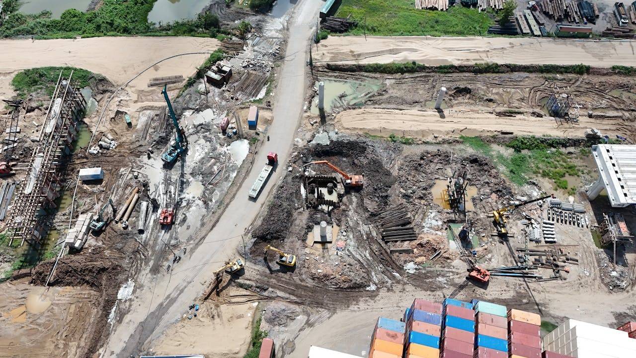
The revenue minister also drew attention to a significant disparity in official sand availability figures. Current government records estimate around 7 lakh brass of sand in the district. However, preliminary assessments suggest that actual deposits may exceed 25 lakh brass. The administration has been directed to carry out a detailed re-survey using technology such as drone imaging and geospatial analysis.
The updated figures will be used to apply for fresh environmental clearances, a necessary step before auctions for legal sand mining are conducted. Authorities also plan to review extraction data from the past 20 years to determine whether mining beyond permissible limits occurred, and to calculate any revenue losses to the state.
Village Road Mapping and Encroachment Prevention
Another initiative involves mapping ‘pandhan’ roads—village connecting roads—most of which were last documented during the 1930s under British rule. Each of these roads will now be assigned a number to aid in development planning. As part of this process, the department intends to plant trees along both sides of these roads, a measure designed to prevent encroachments and support environmental objectives.
Bawankule has also called for strict enforcement against encroachments on government land, particularly in locations where commercial complexes have emerged without authorisation. Local revenue officials have been instructed to compile detailed records and begin legal action where applicable.
In parallel with land governance reforms, the department will conduct a door-to-door campaign to ensure that all eligible residents are enrolled in Direct Benefit Transfer (DBT) schemes. This will involve verification of existing registrations and immediate facilitation for those not yet included in the system.
Shift to Artificial Sand in Public Projects
As part of efforts to curb environmental degradation from riverbed mining, the state has introduced a phased policy to replace natural river sand with manufactured sand (M Sand) in public works. Within three years, all sand used in Public Works Department (PWD) projects is to be artificial. To support this transition, each district will be allocated 50 crushing units dedicated to M Sand production.
The Bhandara initiatives are intended to operate in an integrated manner—combining land title regularisation, sustainable construction material policies, environmental compliance, and digital infrastructure mapping. By adopting advanced surveying technology and streamlining ownership processes, the government aims to resolve long-standing disputes, improve resource management, and create a transparent framework for urban and rural development in the district.


.png)